
AUSTIN (KXAN) — After a soaking rain across most of Central Texas yesterday, additional showers and storms are expected daily through the end of the work week.
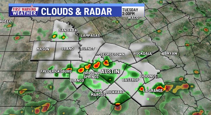
You’ll want to keep the rain gear within arm’s reach today as showers and storms will continue to spread out through late morning and early afternoon. Heavy downpours and well-developed thunderstorms are capable of brining 1″-2″ of additional rain, posing a continued threat of flash flooding, particularly for areas hit hard yesterday.
A Flood Watch is in effect for much of the area through Wednesday afternoon. While the rain will not be constant through that time, additional scattered to widespread storms and showers are likely.

Afternoon highs will remain below average with most of the week favoring temps in the low 90s. Each day will hold the opportunity for more rain and storms, the difference being slightly less coverage each afternoon. Rain chances lower to 50% Wednesday, 40% on Thursday and 30% Friday. Only a few isolated showers (20%) are likely this weekend.
Between now and the end of the weekend, additional rain total could add up to 1″-4″ with isolated amounts of more.

Monday’s flooding problems
The Shoal Creek watershed in North Austin received 4.44″ of rain in just 2-3 hours, causing the creek to spike to 16.37 ft. deep at 12th Street — the highest crest since 2015 and fourth-highest on record. Austin Police closed Lamar Blvd. downtown between 8th-12th Streets during the evening rush hour due to water covering the road, and Shoal Creek submerged the Ann & Roy Butler Hike and Bike Trail on Lady Bird Lake. Water has since receded and roadways are back open.
The Dallas-Fort Worth Metroplex experienced a 1-in-1,000 year rainfall event on the same day, with some areas recording up to 13″ of rain.
In-Depth: In a warming climate, when it rains, it pours! For every one degree of warming, the air holds 4% more moisture.
FIRST WARNING WEATHER: Stay up to date with your Central Texas forecast, sign up for our weather newsletter at kxan.com/newsletters
Summer heat
Following Austin’s first official day of triple-digit heat, back on May 21, the First Warning Weather team each came up with their own predictions for how many 100° days we’ll see this year. Follow along through the summer with the chart below. Camp Mabry is in the midst of its hottest summer on record.
Other stories you may like
Sign up for our daily forecast newsletter at kxan.com/newsletters. Download the KXAN Weather app to get the latest weather forecast: Apple | Android
___________________________________________________________________________________________
Follow the KXAN First Warning Weather team on Facebook, Twitter and Instagram.
You can also follow our meteorologists’ individual accounts for livestreams and a little bit of what goes on behind the scenes: